by Jeff Shelton
When extreme events occur, the transportation network is vital to relief and recovery. For example, when a hurricane makes landfall, getting citizens to safety—particularly from low-lying areas at risk for flooding—is top priority. But once the heavy rain is falling, what routes should they take? Which roads are most likely to flood? After how many inches of rainfall do we begin diverting traffic from Main Road A because it’s likely to flood in the next hour?

Jeff Shelton.
But once the heavy rain is falling, what routes should they take? Which roads are most likely to flood? After how many inches of rainfall do we begin diverting traffic from Main Road A because it’s likely to flood in the next hour?
My fellow researchers and I at the Center for International Intelligent Transportation Research have studied how to mitigate the impacts of such extreme events on the El Paso Region. Using readily available GIS data, we studied the economic impact of critical infrastructure failure from flooding on the El Paso-Cuidad Juárez region. The big takeaway? Knowing how the infrastructure itself reacts under extreme conditions can help avoid compounding the tragedy resulting from those events.
In November 2022, a 5.4-magnitude earthquake hit El Paso. Fortunately, the quake caused no real damage, but it did serve as a wake-up call. I-10 is the major corridor connecting El Paso from east to west. Imagine an earthquake big enough to fracture the interstate. Now imagine the chaos to follow—citizens cut off from their primary route to work or school; or worse, vital service providers like hospitals.

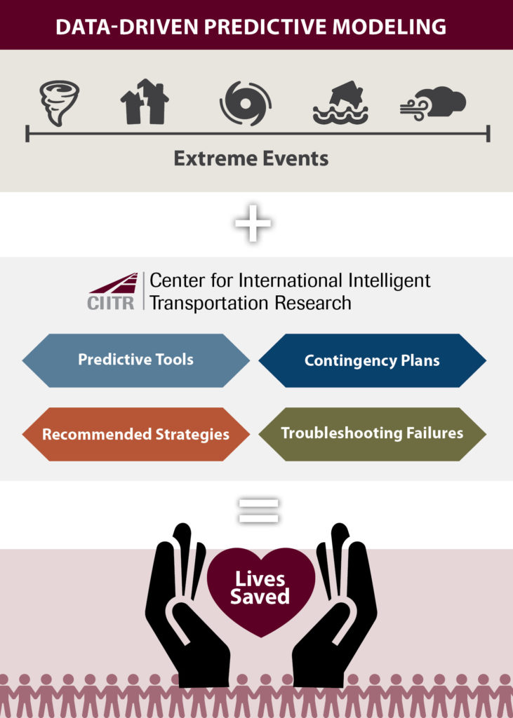
Predictive modeling using real-world traffic data can help agencies save lives during extreme events, when time is of the essence.
By studying more what-if scenarios of these kinds of natural disasters—and less-predictable events like a refinery explosion or a hazardous chemical spill near a neighborhood—we can model their impacts on the local transportation network. We can then create community mitigation plans to help local agencies know which infrastructure assets they can rely on in given circumstance. For example, we can recommend specifics like “if Road A is flooded, then move traffic to Road B until rainfall reaches X inches.”
To be able to make those kinds of recommendations reliably, we need predictive tools to simulate real-world situations using actual traffic pattern and infrastructure performance data. Creating these tools requires tremendous computing power to parse huge data sets of information. But once we’ve done the number crunching, we can arm local officials with contingency plans for when tragedy strikes—instead of their having to make ad-hoc decisions in the heat of the moment which may or may not help in the long run.
There’s an old carpenter’s saying about measuring twice and cutting once. It means “to avoid unnecessary waste, plan carefully” and is about saving time and materials and doing the job right the first time. In traffic management—particularly during an extreme event, where a panicky public and failing infrastructure can contribute to a cascading failure of the local transportation network—planning carefully can mean the difference between life and death. With the right tools in hand, we can avoid adding to the tragedy.
Jeff Shelton is a senior research scientist with the Center for International Intelligent Transportation Research in TTI’s El Paso Office.

